Our strip alignment software is now able to correct the relative geometry of challenging corridor projects while preserving, or even improving the absolute accuracy of the LiDAR point clouds.
Corridor mapping alignment
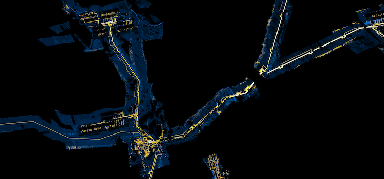

Our strip alignment software is now able to correct the relative geometry of challenging corridor projects while preserving, or even improving the absolute accuracy of the LiDAR point clouds.
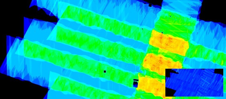
Fast & accurate large scale swath alignment in difficult situations, including some UAV cases, for the most advanced airborne scanners! The new version fixes a few issues, adds new features and performance improvements.

We will be at the GeoWeek (International LiDAR Mapping Forum & ASPRS annual conference) in Denver, CO – Jan 27-30, 2019. Visit Booth #809 for demos…
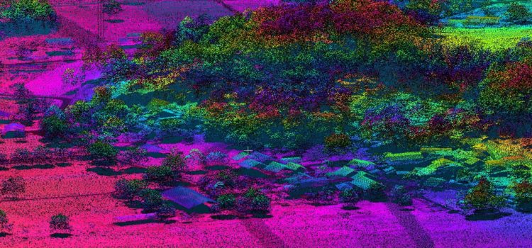
BayesWavEx 1.1 beta can now process SDF files directly from Riegl scanners 560, 680, 780 and even 1560!
BayesStripAlign 2.0 is now available, with a full PDF manual. Incredible new features! No more limitations! Try it today with a free 30-day demo.

We will be at the International LiDAR Mapping Forum (ILMF) Denver, CO – Feb 5-8, 2018.
Visit Booth #107 for demos and info about StripAlign 2.0 and WavEx.
Visit Booth #18 to see demos of flight line alignment and waveform processing using BayesStripAlign and BayesWavEx.

We will be at the Commercial UAV Expo Las Vegas, NV – Oct 31-Nov 2, 2016.
Visit Booth #101 to see demos of automatic point cloud alignment using BayesStripAlign
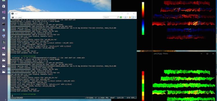
BayesStripAlign version 1.3 for both Windows and MacOS 64-bit was released on Sept 19, 2016. This update features significant improvements and many fixes.
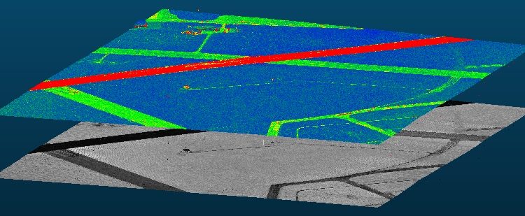
BayesWavEx prototype (V1.0) released. Request a demo now!