
SUCCESS STORIES
Used on real projects.
How survey and mapping teams put StripAlign and WavEx to work on production acquisitions — the setup, the difficulty, and what came out of it.
CUSTOMER PROJECTS
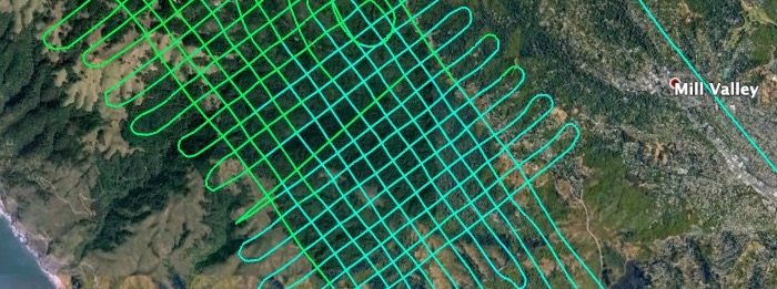
Muir Woods National Monument Lidar Acquisition
GEO1 won awards in two categories at the 2021 MAPPS Geospatial Excellence awards for their LiDAR and imagery acquisition of Muir Woods National Monument in Northern California as part of the Earth Archive project. GEO1 Wins 2021 MAPPS Geospatial...
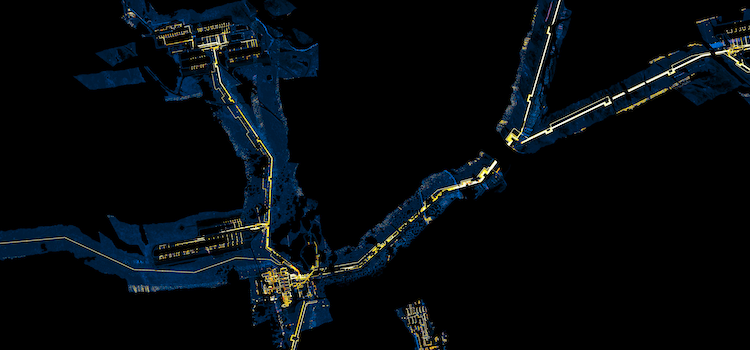
Corridor mapping alignment
Our strip alignment software is now able to correct the relative geometry of challenging corridor projects while preserving, or even improving the absolute accuracy of the LiDAR point clouds. In large corridor mapping projects with very limited flight line...
GET IN TOUCH
Have a project like these?
Tell us about your survey and your data, we will tell you straight if we can help.