
PROBABILISTIC LiDAR · BAYESIAN INFERENCE
We increase the accuracy of your data, and save you money.
Probabilistic LiDAR processing for airborne and terrestrial laser scanning. Fly higher, keep every point, and quantify your uncertainty, instead of paying for it.
Rigorous error propagationPeer-reviewed Bayesian methods20+ years of research
FLAGSHIP SOFTWARE • V2.29 · WINDOWS / LINUX / MACOS
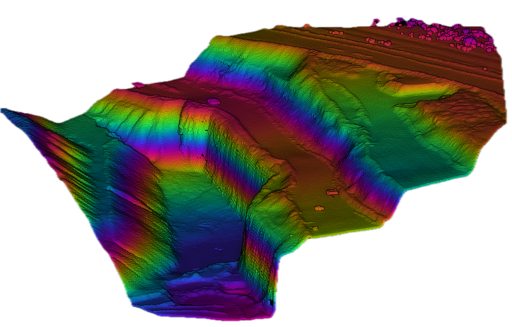
StripAlign 2.29
Using swath overlaps, it automatically registers point clouds onto each other, cutting discrepancies between swaths and improving relative and absolute accuracy, even on very large datasets.
FLAGSHIP SOFTWARE • V2.02 · WINDOWS / LINUX / MACOS
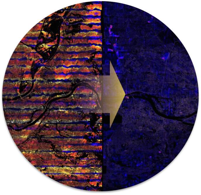
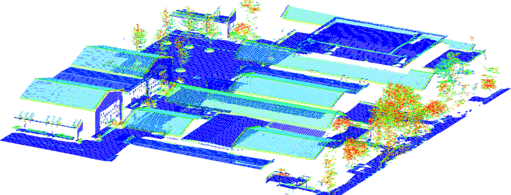
WavEx 2.02
It extracts 3D points from raw, full-waveform files: more points and more accurate results even at high altitude and in difficult cases with low vegetation, from the raw file to georeferenced LAS/LAZ in a single pass.
PARTNERS & CLIENTS
Trusted by mapping & research leaders.
From national agencies to commercial survey firms and university research labs, teams worldwide trust BayesMap with their airborne and terrestrial LiDAR.
1 T+
Points processed / day
12 K+
Processing runs / month
90+
Active users worldwide
10+
Years in production
Measured on the BayesMap license server — June 2026, all products. Point volume mainly from StripAlign.
INDUSTRY









GOVERNMENT & PUBLIC AGENCIES







ACADEMIC & RESEARCH













OUR HISTORY
10+ Years of Experience
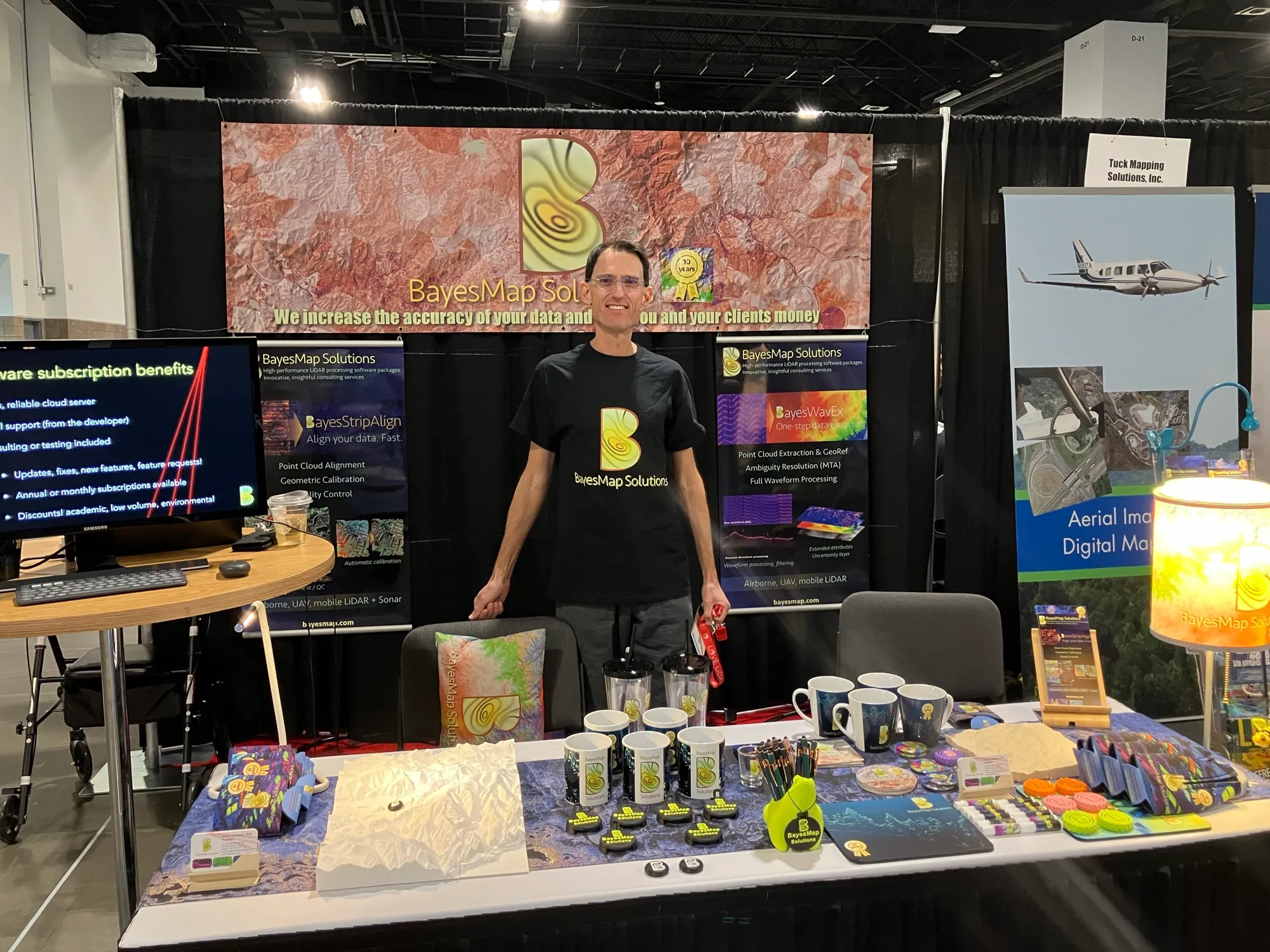
Founded in September 2014 by André Jalobeanu, PhD, a CNRS research scientist with over 20 years of work on Bayesian inference, BayesMap has been a French company near Marseille since 2023.
FREE EVALUATION
See what your data is really worth.
Send us a sample dataset. We'll process it and show you the accuracy gain, at no cost.