We will be at the GeoWeek (International LiDAR Mapping Forum & ASPRS annual conference) in Denver, CO – Jan 27-30, 2019. Visit Booth #809 for demos and info about the new WavEx 1.1 SDF, StripAlign 2.1, and the upcoming UAV registration module....
BayesWavEx 1.1 beta released!
A new version of our efficient waveform processing software was released on 11/5/18. Version 1.1 beta can now process SDF files directly from Riegl scanners 560, 680, 780 and even 1560! (Riegl export to SDF required for V-line scanners) Here are the new...
BayesStripAlign 2.0 officially released!
BayesStripAlign 2.0 is available now and comes with an illustrated manual. Fast & accurate large scale swath alignment in difficult situations for the most advanced airborne scanners! The new version overcomes most limitations of the previous version and adds many...
ILMF/ASPRS 2018
We will be at the International LiDAR Mapping Forum (ILMF) Denver, CO – Feb 5-8, 2018. Visit Booth #107 to see demos of flight line alignment and waveform processing using BayesStripAlign and BayesWavEx. BayesStripAlign 2.0 released! arbitrary flight line...
ILMF, Denver CO, Feb 13-15 2017
We will be at the International LiDAR Mapping Forum (ILMF) Denver, CO – Feb 13-15, 2017. Visit Booth #18 to see demos of flight line alignment and waveform processing using BayesStripAlign and BayesWavEx. Don’t miss the preview of new functionalities in...
Commercial UAV Expo, Las Vegas – Oct 31 2016
We will be at the Commercial UAV Expo Las Vegas, NV – Oct 31-Nov 2, 2016.Visit Booth #111 to see demos of automatic point cloud alignment using BayesStripAlign, our best selling software! Reduce the geometric errors from IMU and GPS to get the...
BayesStripAlign 1.3 update: many fixes and improvements
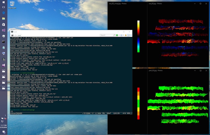
BayesStripAlign version 1.3 for both Windows and MacOS 64-bit was released on Sept 19, 2016. This update features significant improvements and many fixes. New features:– Color JPEG output option for QC, with multiple color maps– Human-readable absolute QC text report–...
BayesWavEx prototype released!
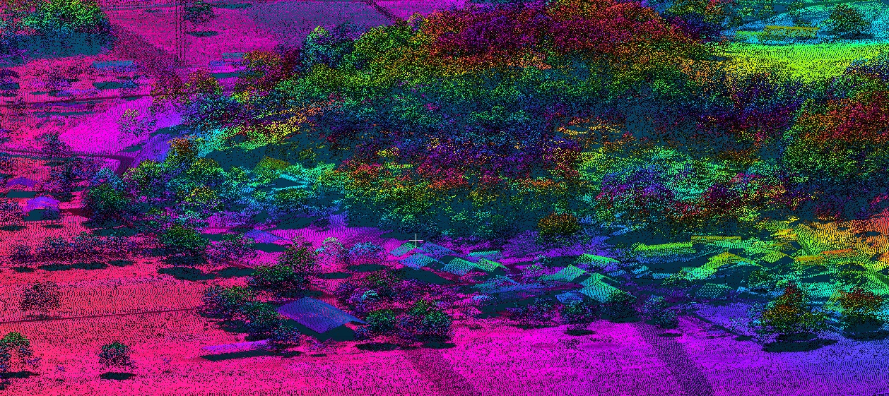
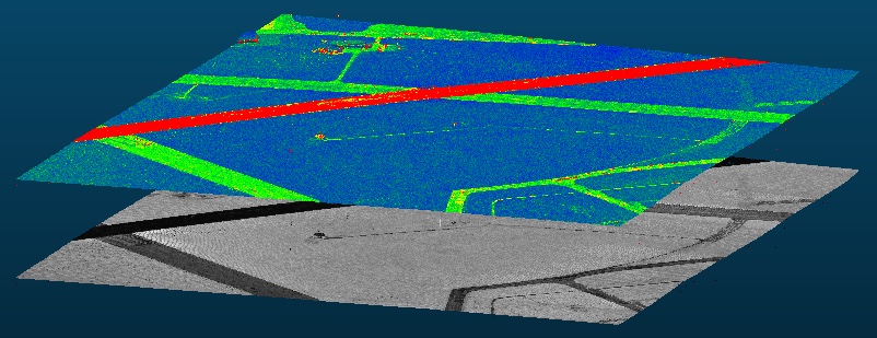
BayesWavEx prototype (V1.0) released. Request a demo now! See licensing page for details. The picture above shows the range uncertainty layer (exported as a LAS extended attribute) above the corrected intensity. The predictive range error depends on peak shape,...
SSA 2016 Exhibit, Booth #3
We will be at the SSA 2016 meeting (Seismological Society of America) in Reno, NV – April 20-22, 2016. Visit Booth #3 to learn more about LiDAR point cloud processing using BayesMap software and services, and also for a demo of StripAlign, our new point...