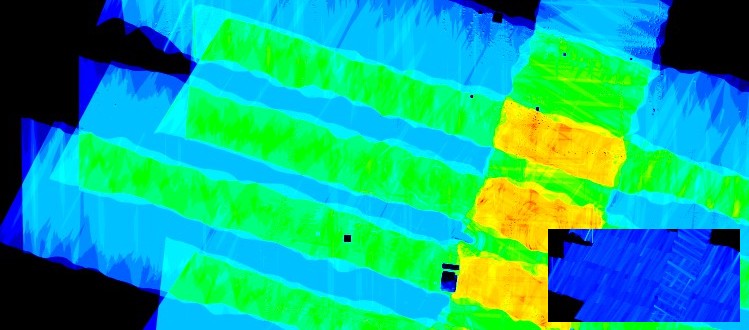

Our strip alignment software is now able to correct the relative geometry of challenging corridor projects while preserving, or even improving the absolute accuracy of the LiDAR point clouds. In large corridor mapping projects with very limited flight line...
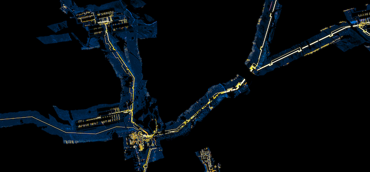
Corridor mapping alignment
read more...